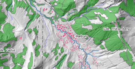
Height models
Elevation models are digital data sets that describe the shape of the earth's surface in 3D. Each pair of coordinates X and Y is assigned a height Z. For precise calculations, so-called breaklines are often also evaluated.

Different data sets and different formats are available for using the data
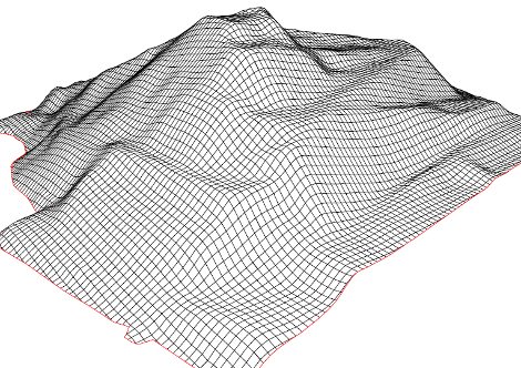
DTM 2m Grid
In order to use the 3D data, the raw height information is often converted to regular grids. The advantage of regular grids is that, unlike individual points, they can be processed and evaluated relatively quickly by software products.
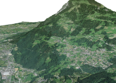
Relief map
A relief map is a topographical map that depicts the relief, the three-dimensional shape of the earth's surface in a two-dimensional representation. The aim of this type of map design is to achieve a vivid visual effect.
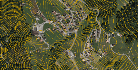
Contour lines
Elevation contour lines, also known as contour lines, connect neighboring points of the same height on maps (usually whole meters or 10 meters). Equidistance is the difference in height to the neighboring contour line.