National Survey
The Liechtenstein cadastral survey is based on the Swiss cadastral survey. The Civil Engineering and Geoinformation Office and the Federal Office of Topography swisstopo have concluded a cooperation agreement that obliges swisstopo, in cooperation with the Civil Engineering and Geoinformation Office, to create and maintain the national survey on Liechtenstein territory in accordance with the same quality guidelines as in Switzerland. This ensures the availability of high-quality land surveying bases and products on Liechtenstein territory as well.
3-Dimenisonal reference systems and reference frameworks
|
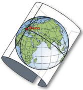
Liechtenstein is based on the global and local reference systems of the Swiss national survey. Thanks to a precisely defined transition to the global systems, precise positioning is possible with the modern local reference systems.
|
In Liechtenstein, the following reference systems are used in particular:
- CH1903+: Reference system of the new national survey 1995 (LV95)
- CH1903: Reference system of the old national survey 1903
- CHTRS95: Swiss Terrestrial Reference System 1995
The old reference system CH1903 (reference system of the old national survey 1903, LV03) has since been largely replaced by LV95.
The LV95 frame of reference
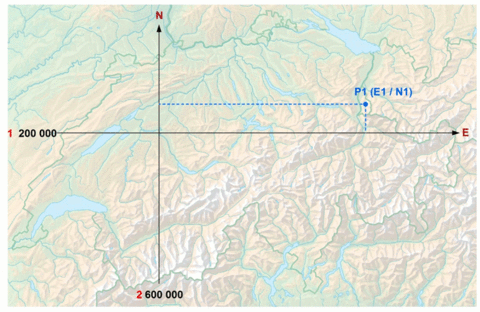
The LV95 reference frame is the new basis for all surveying work to be carried out. LV95 guarantees the accuracy and reliability of coordinate determination even for surveying tasks using the latest methods and instruments, e.g. GPS or GNSS. The coordinate values in relation to LV95 are designated E (easting) or N (northing).
Fixed points of the national survey
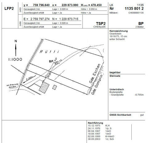
A fixed point is a point permanently secured with a stone or a bolt (sometimes under a shaft) with known coordinates and/or known height. The fixed points form the basis of all data with a spatial reference.
An online map with all fixed points of the Liechtenstein National Survey can be found at Fixed point data service from Swisstopo
Topographic Landscape Model Switzerland (TLM) also in Liechtenstein
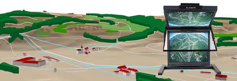
The topographic landscape model is geodata that describes the shape and land cover of the earth's surface and its nomenclature in three dimensions
The Civil Engineering and Geoinformation Office and the Federal Office of Topography swisstopo have concluded an agreement that obliges swisstopo to create and maintain the TLM on Liechtenstein territory in accordance with the same quality guidelines as in Switzerland. The Civil Engineering and Geoinformation Office provides swisstopo with the cadastral survey data for the creation of the TLM. In return, the National Administration receives a license for the full use of the TLM. In addition, the Civil Engineering and Geoinformation Office receives the distribution rights for the SWISSIMAGE orthophoto and the SwissALTI3D elevation model within Liechtenstein and for customers from Liechtenstein under this agreement.


