Maps
Topographical map
The topographic map of Liechtenstein at a scale of 1:10,000 is available in four sheets. It was updated at regular intervals until 1989. The map from 1943, 1967, 1979 and 1989 is available in digital form. The map from 1989 can also be obtained in printed form from the Liechtenstein National Library
The maps at scales of 1:25,000, 1:50,000 and 1:100,000 are also produced by Swisstopo on the territory of the Principality of Liechtenstein and can be obtained from Swisstopo or from bookshops.
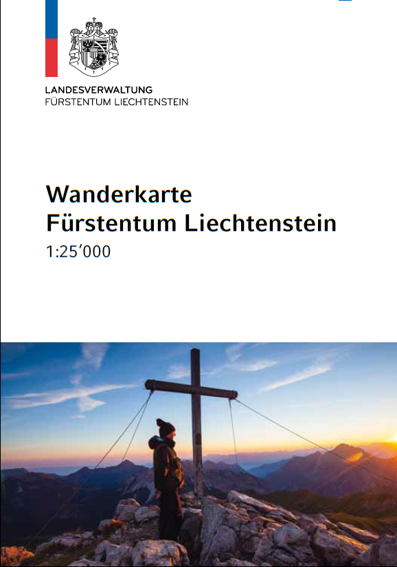
Hiking map 2007
The Hiking Map Liechtenstein 2007 was produced by Swisstopo and can be obtained from Liechtenstein Marketing, in bookshops or via the Swisstopo TopoShop.
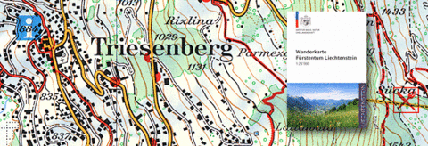
Hiking map 2014
The Hiking Map Liechtenstein 2014 was produced by Hallwag Kümmerly&Frey. It can be obtained from Liechtenstein Marketing, bookshops or Hallwag Kümmerly&Frey.
Mountainbie Map 1:50,000
In 2007, the Office for Forests, Nature and Landscape published the 1:50,000 mountain bike map in collaboration with the then Civil Engineering Office. The map can be obtained from Liechtenstein Marketing or Werd-Verlag.
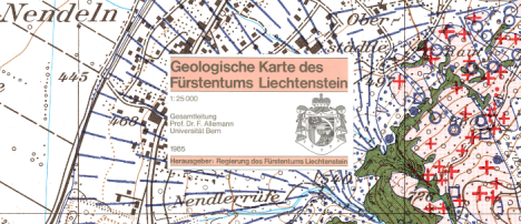
Geological map
The Geological Map was published in 1985 by the government under the direction of Prof. Dr. F. Allemann. It can be obtained from the Civil Engineering and Geoinformation Office.