Products

80 percent of all political and Economic Affairs Division decisions have a spatial reference. The National Spatial Data Infrastructure (GDI-FL) creates the conditions for easy access to an optimal range of geoinformation.


Here you will find some of the most important products from the Liechtenstein Spatial Data Infrastructure within the remit of the Civil Engineering and Geoinformation Office.
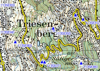
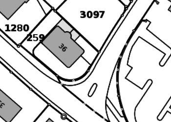
Fixpunktkarte Triesenberg Vermessungstechnische Bezugssysteme und Bezugsrahmen, Fixpunkte, Grundlagen
Die AV sichert das Grundeigentum und liefert die Grundlagen für Bau und Planung
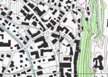
Wissen wohin und auf dem kürzesten Weg zum Ziel, dazu braucht es Karten
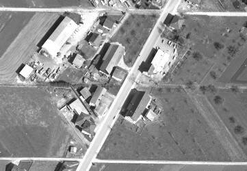
Abbild der Erdoberfläche und Dokumentation der Vergangenheit
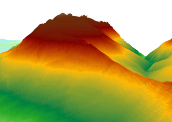
3D-Modelle ermöglichen eine exakte Darstellung der 3D-Landschaft
Dienste sind der zentrale Zugangspunkt für eine Geodateninfrastruktur