Official surveying
Official cadastral surveying's main tasks include recording property boundaries and updating this data. Official cadastral surveying thus makes a significant contribution to securing land ownership. On the other hand, it forms the basis for almost all other geographical data, for numerous applications in Economic Affairs Division, administration and private life and for geographical information systems.
Plan for the Land Register Division
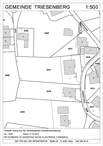
The Land Register Division plan is an official document. It is created for the purpose of land register management. The boundaries of properties recorded in it have legal effect.
Building entry planThe building application plan is an excerpt from the land survey, which is usually drawn up in A4 format at a scale of 1:500. The planned building object and the distances to the property boundaries and any other information on the construction project must be marked on the building application plan. Construction entry plans are given a consecutive serial number and can only be obtained from the data-issue-offices of the Office of Cadastral Surveying

Overview map
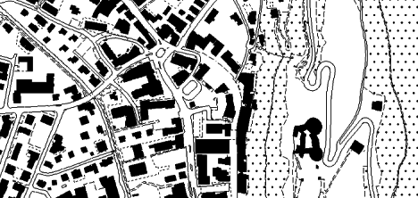
The general plan is a plan created from cadastral survey data at a scale of 1:2,000 or 1:5,000. The general plan serves as the basis for a range of specialist plans such as the zoning plan, structure plan or local plans.

Base plan of the official cadastral survey
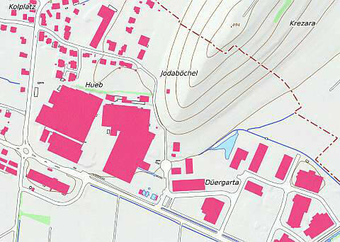
The official cadastral survey base plan "BP-AV" is a product that is automatically derived from the cadastral survey data, with the exception of the representation of rocks, which are taken directly from the 1:25,000 national map of Switzerland. It is not generalized, but depending on the scale selected, objects from the official cadastral survey are omitted. The BP-AV can be displayed in black and white or in color, digitally or on paper, and is primarily intended as a plan background in raster form that can be overlaid with additional theming.
