Data models
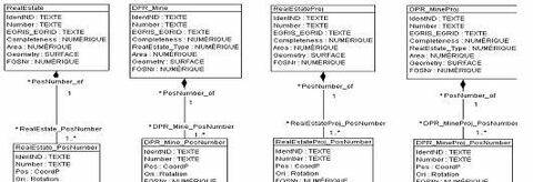
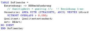
The geodata description language INTERLIS allows the modeling and integration of geodata and thus enables data exchange between different geoinformation systems. INTERLIS can be used independently of the software and IT system used. INTERLIS has been the official standard for data exchange within the official cadastral survey (AV) since 1998.
INTERLIS is also suitable for the exchange and documentation of geodata in other areas such as spatial planning and line cadastre. In Liechtenstein, both the official cadastral survey data and other data from the Liechtenstein geodata infrastructure (GDI), such as zoning plans and line cadastres, are described in INTERLIS format.
All data from Liechtenstein's geodata infrastructure can therefore be exchanged between different IT systems via INTERLIS
Further technical information on Interlis can be found on the Interlis platform. Information on the use of Interlis in official cadastral surveying can be found on the Internet portal of the Amtliche Vermessung Schweiz.

