Aerial photos
Analogs and digital aerial images
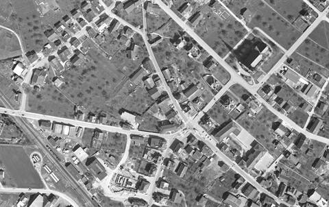
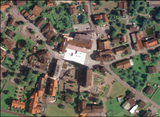
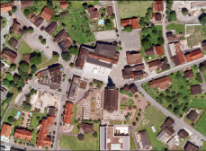
Aerial photographs are landscape images taken from aircraft using analog or digital cameras. Some of the aerial images from older aerial surveys are available in analog form. The aerial photographs from the special aerial survey for the photogrammetric evaluation of the border stock from 1964 and 1967 (so-called "aerial photographs") were digitized and can be evaluated photogrammetrically at any time.

Orthophotos
Images that have had their distortions removed and therefore have a uniform scale over their entire extent are referred to as orthoimages or orthophotos. They can be overlaid with map elements, for example.


Online counter
Link Website: https://www.llv.li/en/national-administration/civil-engineering-and-geoinformation-office/geodata-infrastructure/products/aerial-photos